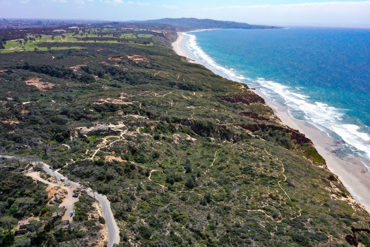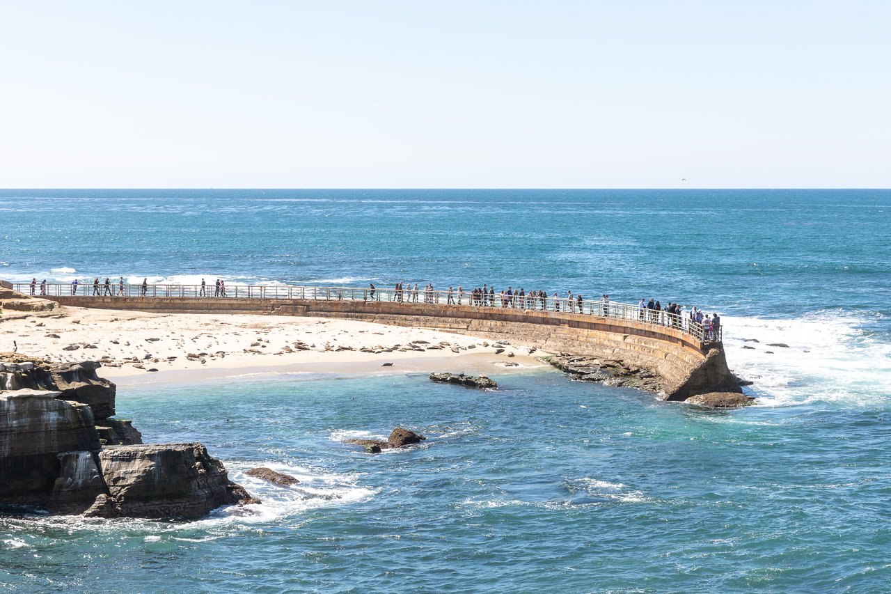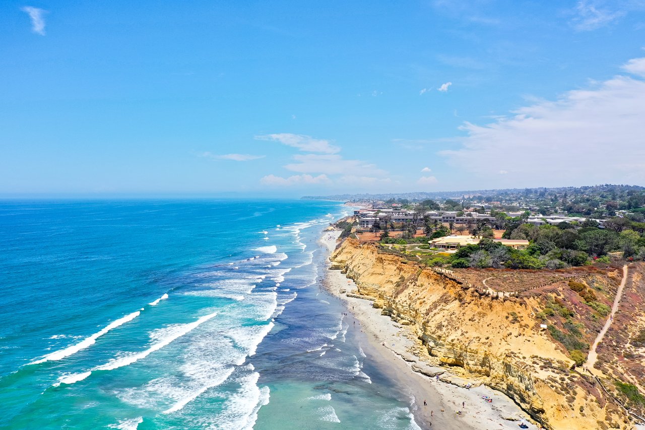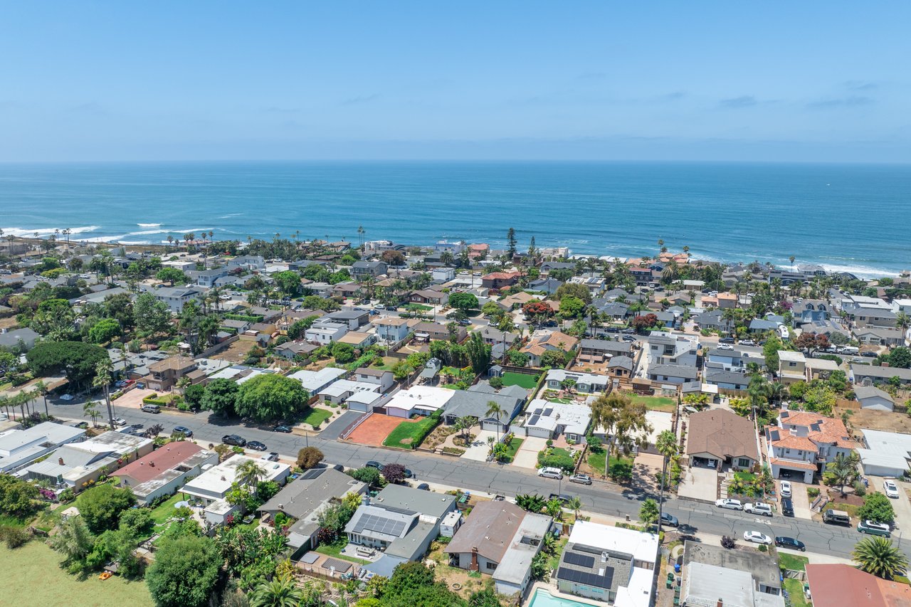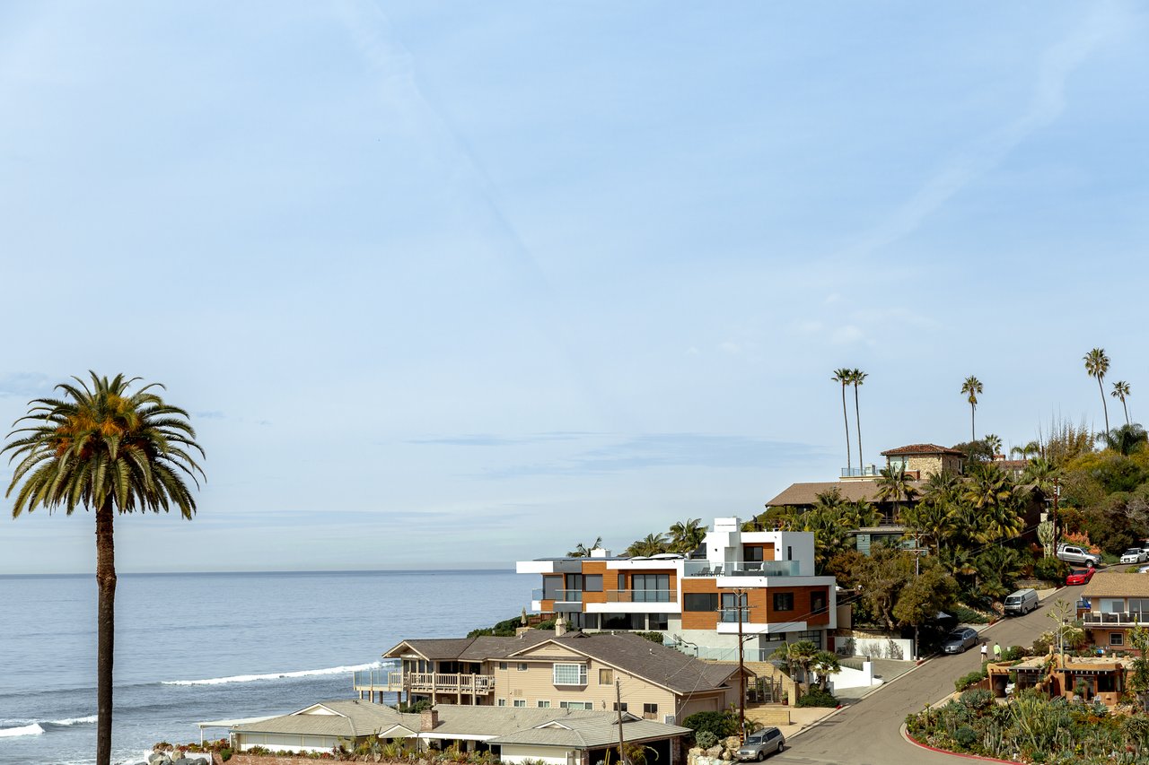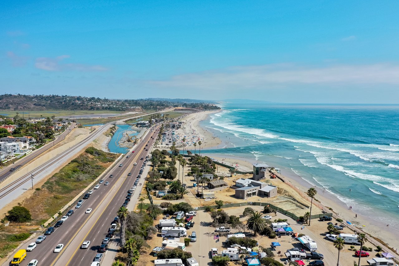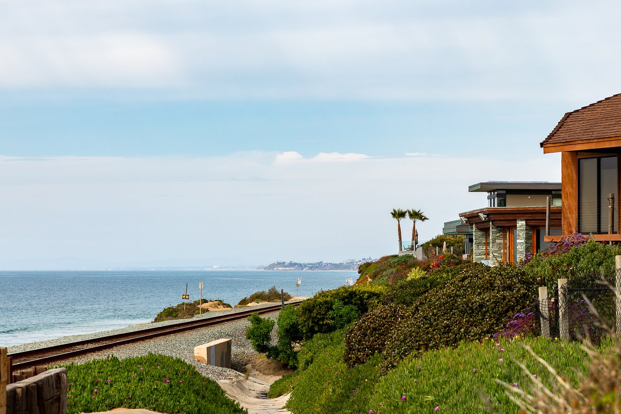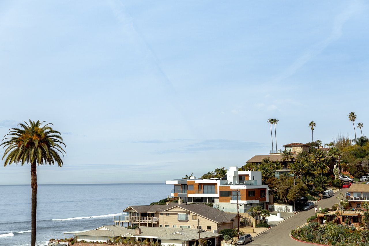
At the south end of the Carlsbad Boulevard seawall, State Parks has put chain-link fencing around the Tamarack State Beach parking lot. A few blocks north, the city has closed the Sycamore and Maple stairs for demolition. Below both, the sand between Tamarack and Pine is down to cobblestones. Each problem has a different owner and a different finish date. Until both are done, the seawall is easiest to use from the Pine end.
The seawall has two owners
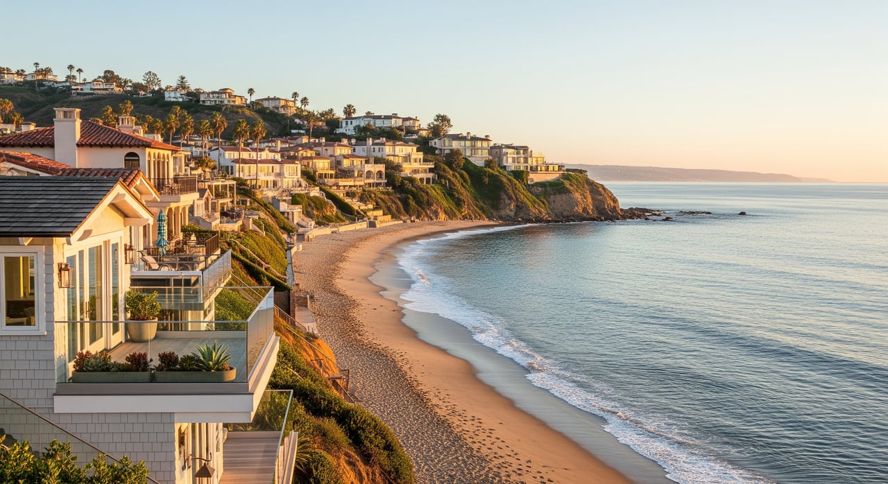
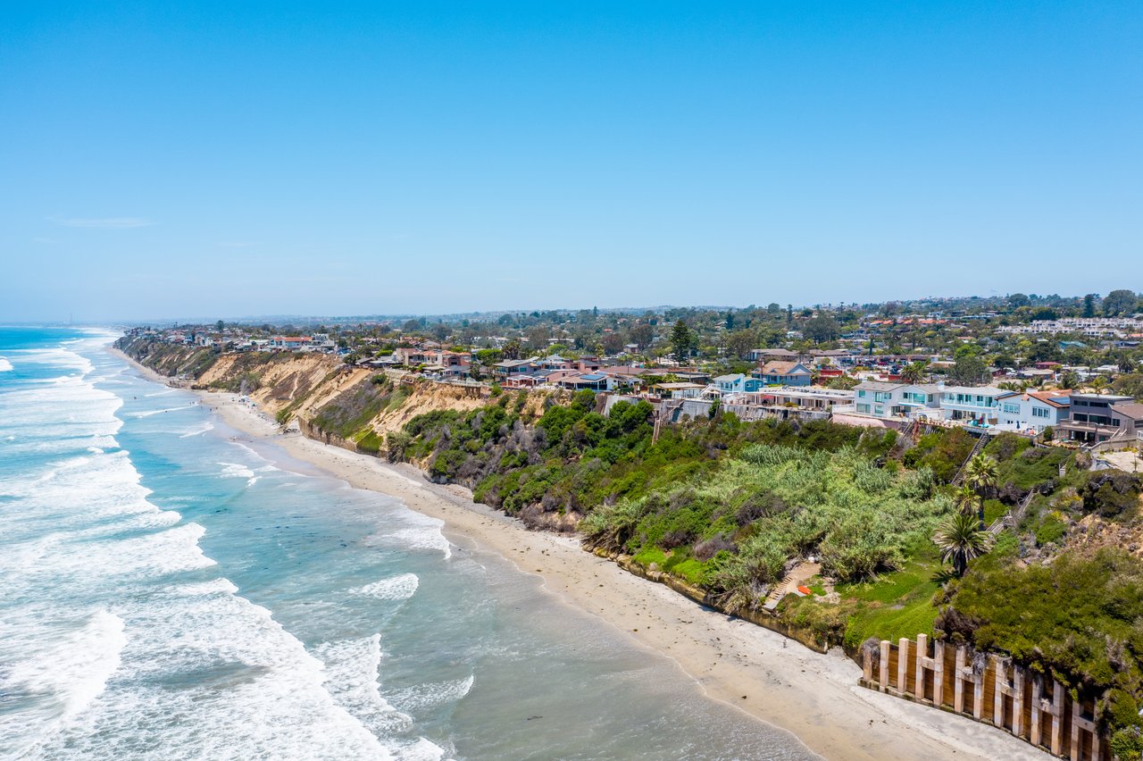
Most people treat the stretch from Oak Avenue down to Tamarack as one walk. Legally it's split between two owners. The City of Carlsbad says California State Parks owns and manages six of the city's seven miles of coastline, Tamarack State Beach and its parking lot included. The city controls only about one mile, from just north of Oak Avenue to the Oceanside border, plus a short section of Terramar between Cerezo Drive and Cannon Road.
It gets more tangled. The San Diego Union-Tribune reported that Carlsbad has an agreement with the state to maintain parts of the state's beach to a higher standard, mainly the concrete seawall between Tamarack and Pine avenues, which gets city landscaping, benches and restrooms. So the city takes care of the seawall's look and its stairs from the boulevard, while the state controls the lot at the south end and the sand below.
In its Oct. 16 beach update, the city said plainly that because Tamarack is state property, it "simply does not have the authority to take the lead or start making repairs." That's why the two fixes now underway run on separate timelines.
The state's schedule at Tamarack
The Tamarack lot has been closed to cars since the high tides and storm-surge waves of Labor Day weekend, which washed away chunks of asphalt on the seaward edge despite a line of protective boulders. On the weekend of Oct. 10–11, State Parks staff fenced off the lot and the surrounding property, which is now closed to people on foot too.
The city's stair-project page still lists the Tamarack ramp as open. That page predates the fencing. The city's later notice that the State Parks property is closed to pedestrians reflects current conditions, so plan as if the Tamarack ramp isn't available.
The state has set a target date for finishing repairs, but it hasn't announced when the lot will reopen. State Parks Lt. Sean Homer told the Carlsbad Environmental Sustainability Commission that a coastal engineer had been hired to plan repairs, that bids would go out "within the next month or so," and that work should be done by the end of December, the Union-Tribune reported. City Manager Geoff Patnoe repeated the same end-of-December hope in his Oct. 15 update. The latest public updates name no contractor and no construction start date.
Parking has moved too. In early September, NBC 7 reported that beachgoers were parking on Carlsbad Boulevard and nearby side streets after the lot closed. Neither the city nor State Parks has named an official substitute lot.
The city's schedule in the middle
The city's project is the planned one. It's replacing all four stairways along Carlsbad Boulevard between Hemlock and Pine avenues and widening the sidewalk over the bluff between Cherry and Pine. The stairs and sidewalks were built in the 1980s, and the city's project page describes concrete chipped away to expose rebar, visible corrosion and soil eroding from some of the foundations.
The project's first phase ran from November 2025 into spring 2026. The second runs from fall 2026 to spring 2027, with no work allowed between Memorial Day and Labor Day. Demolition at Sycamore and Maple began this fall. Work runs Monday through Friday, 7 a.m. to 4 p.m., and stops on federal holidays. That means a Saturday morning on the seawall is quieter right now than a Tuesday afternoon.
Here's how access along the city-maintained stretch stands as the project's second phase gets underway:
- Pine Avenue ramp: open, per the city.
- Cherry Avenue stairway: open.
- Hemlock Avenue stairway: open.
- Sycamore and Maple stairways: closed for demolition and rebuilding.
- Tamarack ramp: inside the fenced State Parks property, so treat it as closed.
- West-side sidewalk: closed in sections at times. The city points walkers to the lower seawall or the east-side sidewalk.
- Bike lanes: detoured onto Garfield Street from Oak Avenue to Chestnut Avenue.
- Driving: one lane each way through the work zone, a 20 mph limit and some street parking restricted.
The project's own design shows how it ties to the beach problem. Short retaining walls, each no longer than 20 feet, will replace the sandbags now holding back bluff soil at the bottoms of Maple, Sycamore and Hemlock. The city also says the project will help reinforce and stabilize the bluff. When it's done, the new stairs, built with high-strength beams and corrosion-resistant precast concrete, are expected to last about 50 years. They'll have downward-facing lights on the handrails, and the sidewalk from Pine to Cherry will be 2½ feet wider.
A separate city project to improve ADA beach access near Pine and Tamarack is still in design and could start construction in a few years.
Below the seawall, the sand is gone
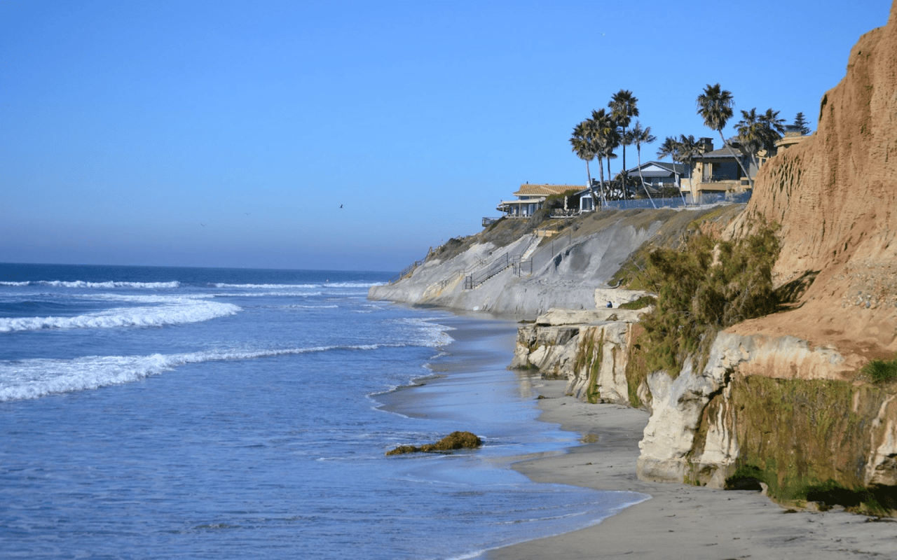
Both repair schedules matter more because of what's under the walk. The Union-Tribune reported on Oct. 5 that much of the beach between Tamarack and Pine had eroded down to cobblestones at the base of the seawall, and that the beaches were the narrowest they'd been in years. Amber Martinez, a fourth-generation Carlsbad resident, told the commission, "What I am seeing now is alarming, powerful waves are stripping away the shoreline."
People who use the water describe the same thing. Surfer Danielle Skari told NBC 7 in September that "the whole bottom of the beach is missing." That report also quoted Roberto Vigilucci, owner of Vigilucci's Seafood and Steakhouse above the beach, who said many of his employees surf there. After the storms of the Oct. 10 weekend, resident Judy Stewart told FOX 5 the surf came "right up to the lower seawall."
North of Oak, on the city's own mile of beach, the stones look different. The city calls them "cobble cusps," clusters or scalloped patterns of small stones that waves push around. It also answered a question residents have asked directly: no one dumped them there, and they're a natural part of how the coast changes.
Summer usually rebuilds San Diego County beaches, but the Union-Tribune reported that most of them lost sand to ocean currents this summer instead. The paper also said the stretch between Tamarack and Pine has seen some of the worst erosion "in memory for most residents."
King tides fall during both repair windows
Tides set a third schedule. Scripps scientists told the Union-Tribune that this year's unusually warm water could add 6 to 12 inches to background sea levels. That becomes a bigger concern during king tides, the highest tides of the year. The paper listed this season's peaks for about Oct. 27, Nov. 24, Dec. 24 and Jan. 22. Scripps coastal geomorphologist Adam Young said a storm or strong swell arriving during those tides makes erosion and flooding "almost certain."
The October peak has passed, and three remain. The Nov. 24 tide falls during the city's weekday stair work, two days before Thanksgiving. The Dec. 24 tide falls in the same week State Parks hopes to finish Tamarack. The Jan. 22 tide falls after the state's target date but well before the city's spring 2027 finish. On each of those dates, the cobble beach below Pine, Cherry and Hemlock will be at its narrowest.
Further south, the city has already acted on a version of this. Carlsbad declared a local emergency on Sept. 9 after erosion just south of Palomar Airport Road threatened to undermine Carlsbad Boulevard. City officials said a crane would place boulders weighing 4 to 8 tons on the beach there, extending an existing rock revetment 192 feet to the north. High tides also sometimes close the low-lying southbound lanes of Carlsbad Boulevard at the outlet of Encinas Creek. The city's Oct. 16 update asks drivers never to try crossing a flooded road or drive past a flooded-road sign.
For the rest of this fall and winter, the simplest way to use the seawall is to start at the Pine ramp, use Cherry or Hemlock to get down to the beach, ride Garfield instead of the boulevard between Oak and Chestnut, and check the tide before walking the lower seawall on Nov. 24, Dec. 24 and Jan. 22.
If you own near the seawall and want to know how this winter's access changes and repair dates could affect timing on a sale or a purchase, Klinge Realty follows these updates week to week. Schedule a Free Home Strategy Consultation and we'll go over where things stand on your block.