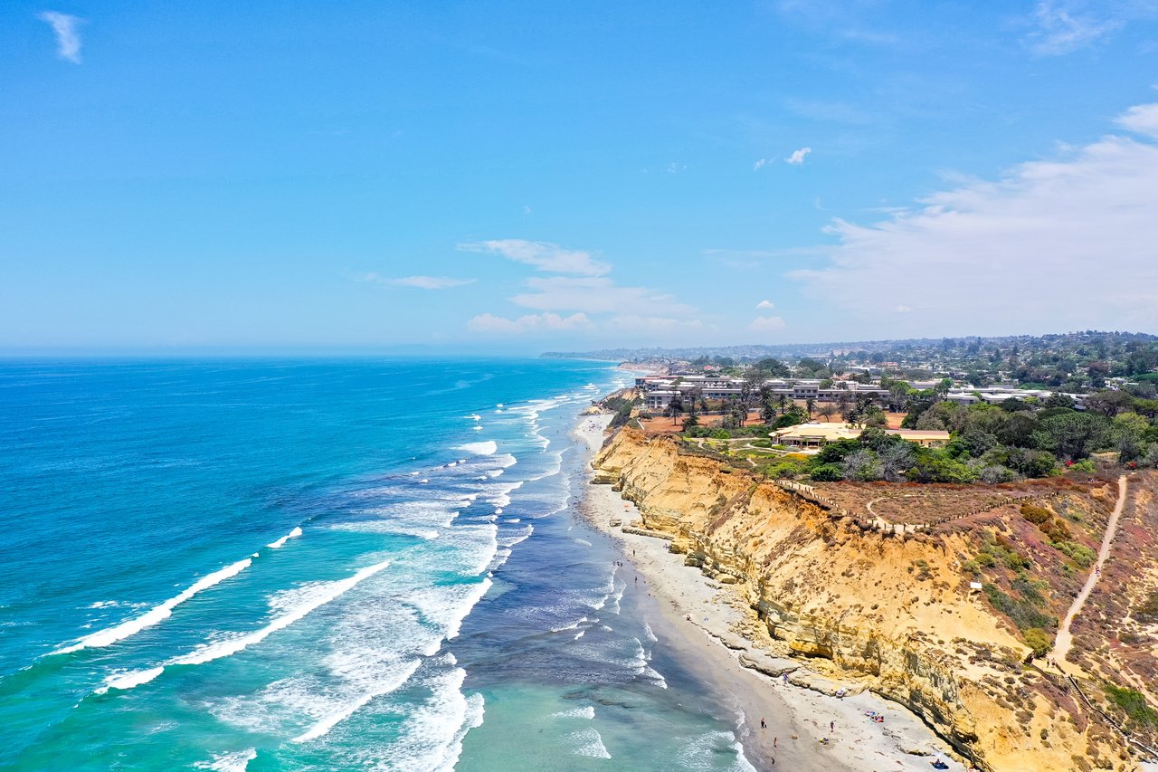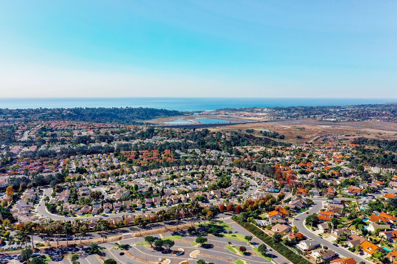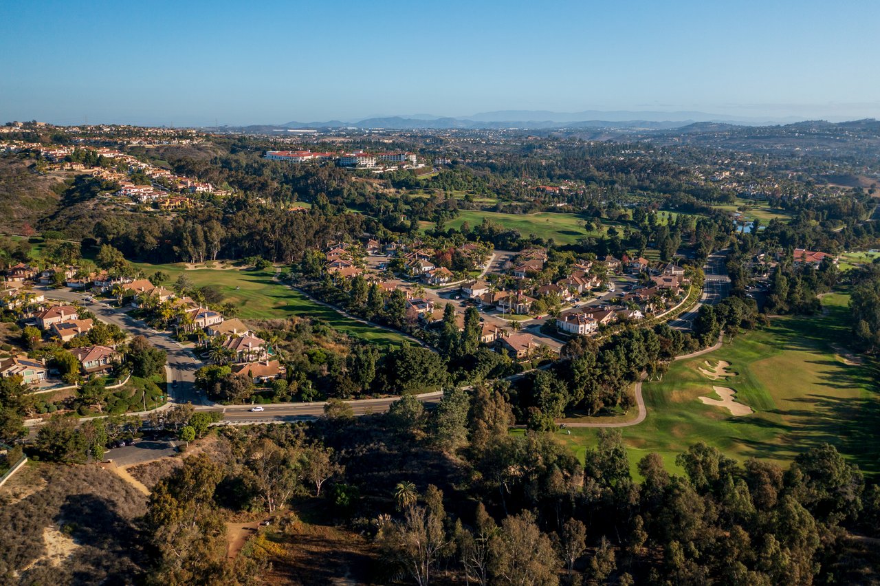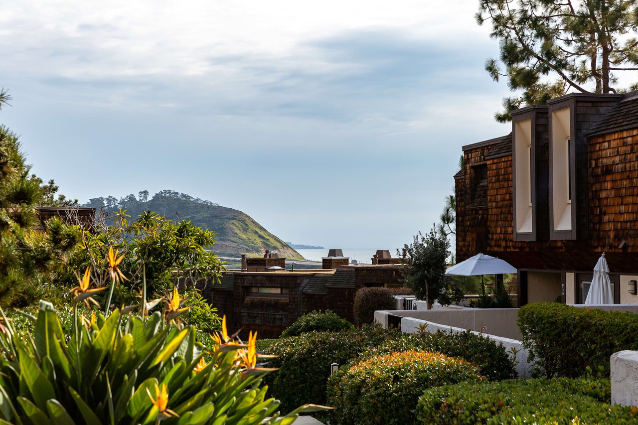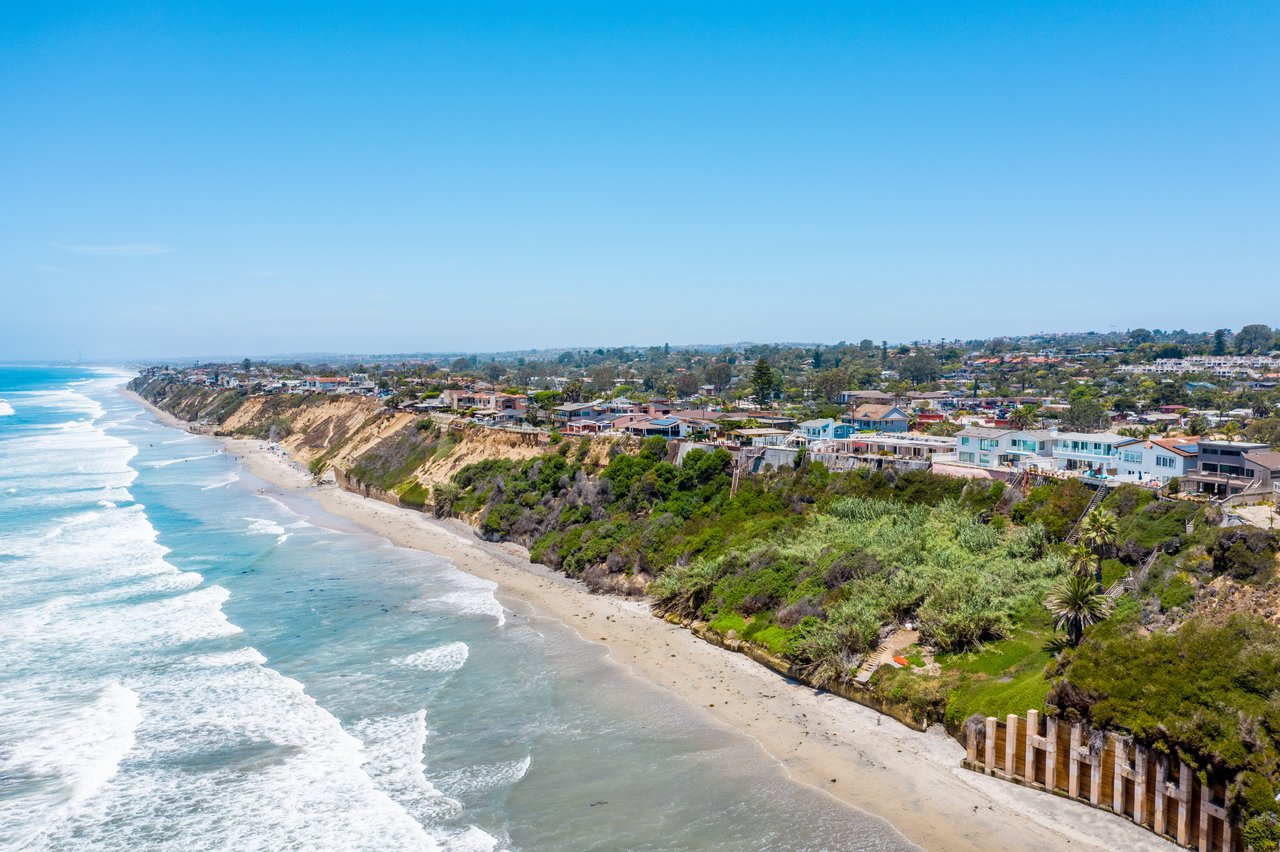
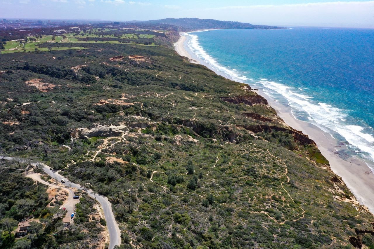
California State Parks closed Torrey Pines State Natural Reserve to all visitors on Tuesday, Sept. 22, and plans to reopen it in March 2027. That takes away the Guy Fleming, Razor Point and Beach trails for most of a winter that Scripps Institution of Oceanography scientists expect to bring high surf, raised sea levels and some very strong king tides. The Reserve's trails ran along the top of the bluff. Every realistic fallback within a short drive of La Jolla either sits closer to the water or closes when it rains.
So for the next five months, whether you get a long coastal walk depends on the tide chart and the rain forecast. A trailhead alone won't decide it. Below is what closed, what stayed open, and what each fallback depends on.
What closed, and the one trail question still unanswered
The closure came in two steps. On Monday, Sept. 21, State Parks closed the reserve road to cars and shut the Lodge and the Trail Interpretive Kiosk in the west parking lot for the season. The next day the reserve closed to pedestrians, bicyclists and vehicles. That covered all trails, the Beach Trail Staircase, the Lodge and both upper parking lots.
The timing changed late. On Sept. 14, the Torrey Pines Docent Society posted that only the Lodge would close and that the Reserve would stay open for recreation, with no closure date set. State Parks' Sept. 18 release replaced that plan. The Docent Society now puts the trail reopening at about March 1, 2027.
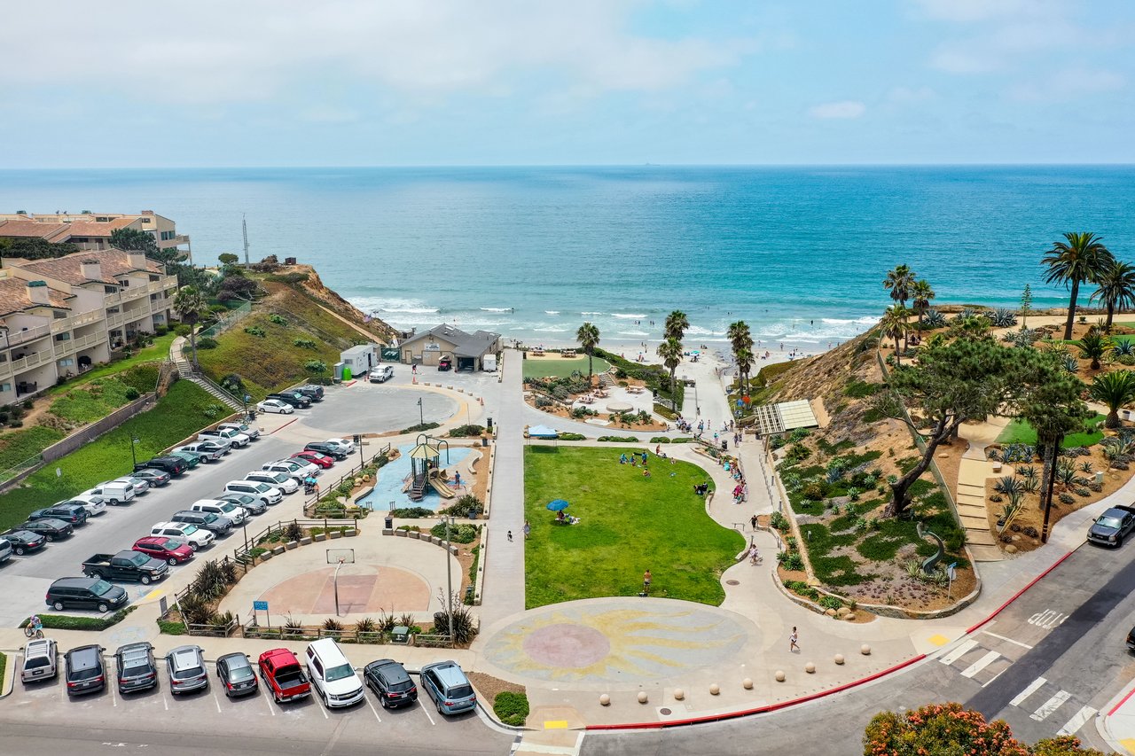
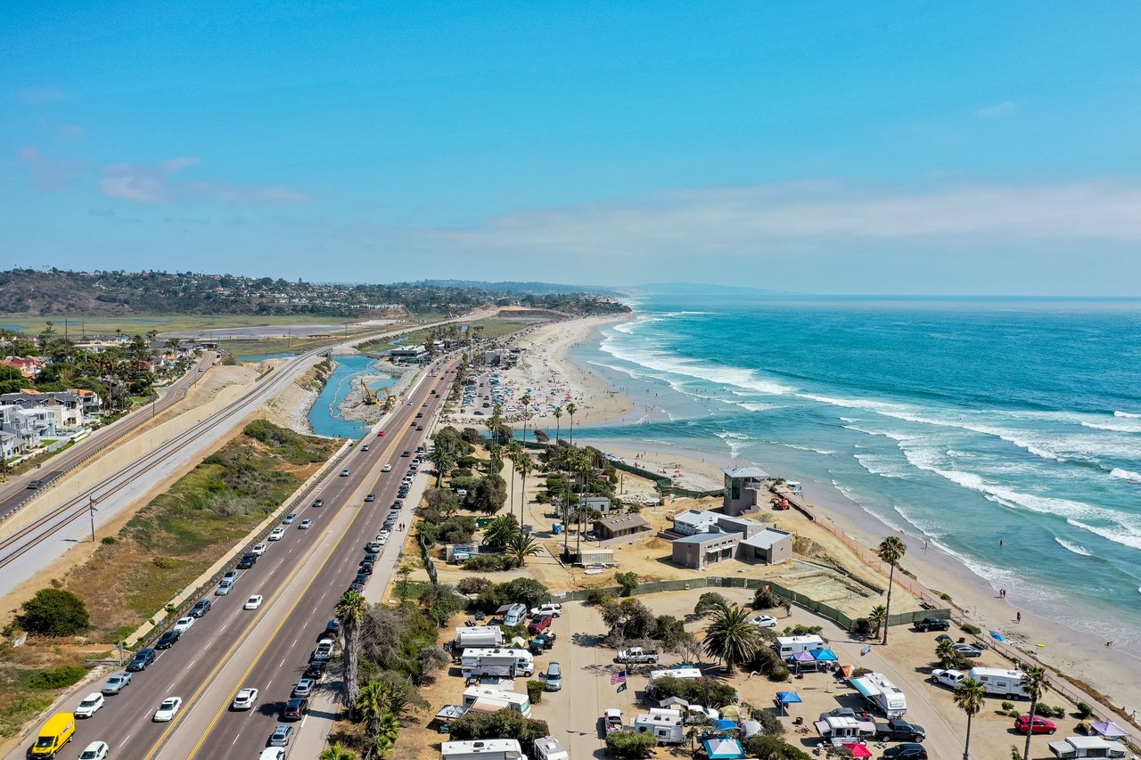
Torrey Pines State Beach is still open. So are its two lots. The South Beach lot at 12600 North Torrey Pines Road charges $15 to $20 per vehicle on demand-based pricing. The North Beach lot off Carmel Valley Road charges $10 to $25, and State Parks calls it remote parking for the trails. For now, that just means a parking spot near sand.
The Torrey Pines Extension, the separate Del Mar-side section, is still an open question. During Phase 1, from November 2025 through February 2026, the Extension trails stayed open along with the beach and its lots. The Phase 2 notices say "all trails" are closed and name only the beach and its two lots as exceptions. They never mention the Extension. Nothing published so far says either way, so call State Parks before planning a walk there.
Why the closure lands in winter
The schedule isn't random. Phase 1 also ran through the cooler months. A project staff report says construction periods are timed to avoid the breeding season of the California gnatcatcher, a special-status bird that lives in the reserve. Phase 2 has a lot to do. Crews will install new gas, water, wastewater and communication lines, add accessible parking stalls, and build an accessible path from the upper lot to the restroom and Lodge. They will also build a new restroom and replace the park road from the west parking lot to the south boundary. Some of the facilities being replaced are up to six decades old. The Torrey Pines Conservancy says sequencing the work this way lets the most disruptive parts get done in order, so they don't turn into emergency closures later.
That window lines up with the coast's roughest stretch. In August, Scripps coastal geomorphologist Adam Young wrote that strong El Niño conditions can raise sea level on the California coast by 6 to 12 inches, while bigger waves speed up erosion of beaches and bluffs. Physical oceanographer Mark Merrifield added that wave buoys usually show high surf starting in late autumn and early winter during an El Niño. Two long tidal cycles, the 18.6-year lunar node and the 4.4-year lunar perigee, are also near their peaks this year, so king tides around Christmas will stack on top of the higher sea level. NOAA is forecasting that the 2026–27 El Niño could be among the strongest on record.
The shoreline is already reacting. Organizers canceled the Sept. 13 La Jolla Cove Swim after a Sept. 8 inspection. Race director Aaron Brennan said high tides and erosion from a month of Pacific tropical storms and hurricanes had left "effectively no rock free beach" for swimmers to get in and out safely. San Diego Lifeguards agreed. That happened in September, before the heavy surf season was expected to start.
What each fallback depends on
Each of these routes is open in some form. Each comes with a catch.
Route | Where it starts | What it depends on |
|---|---|---|
Torrey Pines State Beach | South Beach lot, 12600 North Torrey Pines Road | Low tide and a 10-foot buffer from the cliffs |
Scripps Coastal Meander Trail | Top of Biological Grade, west side of La Jolla Shores Drive | Open as a public trail; the beach end ties into the Black's route |
Black's Beach by Black Gold Road | Gate at La Jolla Farms Road and Blackgold Road | Paved and maintained by UC San Diego; walk-in only |
Coast Walk Trail | Torrey Pines Road end, south toward the Cave Store | Intermittent closures for erosion work; surface redo planned for spring |
Los Peñasquitos Canyon Preserve | 12020 Black Mountain Road or Sorrento Valley Boulevard | Trails close during rain and for at least 48 hours afterward |
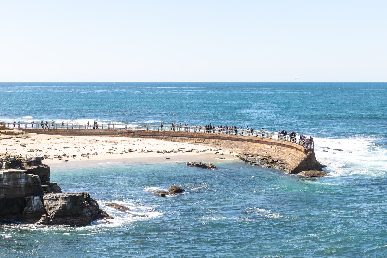
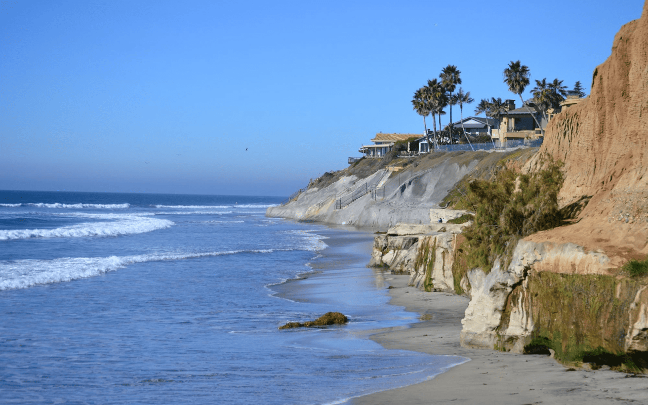
The beach below the Reserve. You can still walk north or south on the sand from the South Beach lot. With the Beach Trail Staircase closed, though, you can't loop back up to the bluff. State Parks says rockslides and cliff collapses happen without warning. It recommends going at low tide, when there's enough sand between the cliffs and the waves to stay at least 10 feet from the bluffs. UC San Diego says the beach routes to Black's, from Torrey Pines State Beach to the north or from La Jolla Shores and Scripps Pier to the south, are passable only at low tide. With a 6- to 12-inch sea level bump and peak king tides, there will be fewer good low-tide windows this winter.
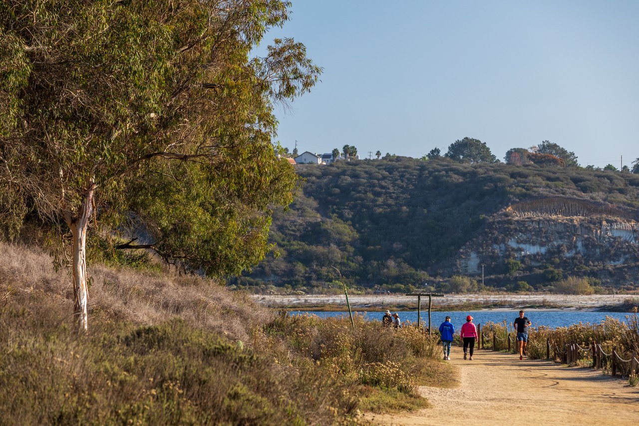
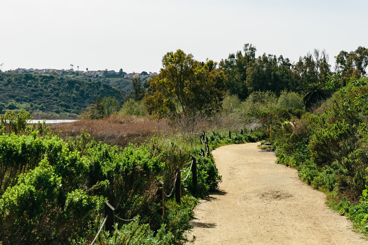
The Scripps Coastal Meander Trail. This is the closest match to what the Reserve offered. It's a pathway and boardwalk across a coastal terrace 150 to 200 feet above the beach, with views from La Jolla Cove to Torrey Pines State Beach. Look for the "Coastal Trail Access" sign on the west side of La Jolla Shores Drive, just below the S-curve, across from the Ted and Jean Scripps Marine Conservation and Technology Facility. For a longer walk, Scripps describes a route of about 1.75 miles. It goes from the Meander up to the upper mesa along the La Jolla Shores Drive sidewalk, turns onto La Jolla Farms Road, and then follows UC San Diego's blacktop road down to Black's and Torrey Pines Beach. The Scripps Coastal Reserve Knoll nearby is different. UC San Diego opens the mesa-top only for docent-led tours and weekly weeding events.
Black's Beach, the paved way down. In June, lifeguard Lt. John Maher told the La Jolla Light that Black Gold Road is "the best way down there because it is paved and maintained by UC San Diego." It leads to the south end of Black's. Benny Cartwright of San Diego Parks & Recreation called the Citizens Trail, at roughly 2800 Torrey Pines Scenic Drive by the Gliderport, "a steep, rugged and unmaintained trail." Lifeguards made 47 cliff rescues in 2025, mostly above Black's. The Black Gold Road gate is closed to cars but open to people on foot, and there's an emergency call box at the top. UC San Diego says not to use the Gliderport dirt trail during or after rain because of unstable steps, mud and washouts. The bottom of Black Gold Road still puts you on the same beach, with the same low-tide rule.
Coast Walk Trail. The La Jolla Coastal Conservancy got ready for El Niño early. SoCal Outdoor Solutions did erosion and water-damage prevention work through Sept. 18, starting at the Torrey Pines Road end and working south toward the Cave Store, with the trail closing on and off along the way. "Our goal is to first get the trail safely through the winter and restore and improve the walking surface once the rainy season has passed," wrote conservancy chair Brenda Fake. New decomposed granite is planned for spring. No update since Sept. 18 has confirmed the work is done, so expect a trail patched for winter, not a finished one.
Los Peñasquitos Canyon Preserve. This is the one inland option with enough distance to replace a Reserve loop. County Parks lists the staging area at 12020 Black Mountain Road, open daily from 8 a.m. to sunset, with about 12 miles of trail. Some of it is shaded singletrack along the creek and some is wider, sunnier path. From La Jolla, the closer entrance is the western staging area on the south side of Sorrento Valley Boulevard, about a mile east of Vista Sorrento Parkway. Dogs are allowed on leashes up to 8 feet. The catch matters this winter: the City closes the trails during rain and for at least 48 hours afterward.
Fitting a walk around the conditions
The coastal routes need low tide and calm surf, and the canyon closes for two days after every storm. In a wet El Niño winter, those limits can hit the same week. Here's a practical way to plan:
- On dry weeks with good low tides, use the beach. Park at South Beach, walk the sand and keep 10 feet from the cliffs.
- When the tide is high or the surf is up, stay on top. The Coastal Meander and the La Jolla Shores Drive climb to La Jolla Farms Road don't depend on the water.
- When it rains, cross the canyon off your list for at least 48 hours and skip the Gliderport dirt trail completely.
- Around Christmas, when Scripps expects the strongest king tides, plan on bluff-top routes only.
If you have a State Parks annual pass, it still works at every other state park. State Parks doesn't refund passes for closures. Construction updates are posted on State Parks' Torrey Pines project page, along with any new closure dates.
At Klinge Realty Group, we track the projects that change daily life along the North County coast, from trail closures to construction schedules. When the Reserve reopens, we'll be walking it too. If you're wondering how changes like this shape life in different parts of La Jolla and the coast north of it, Schedule a Free Home Strategy Consultation and we'll go over it street by street.