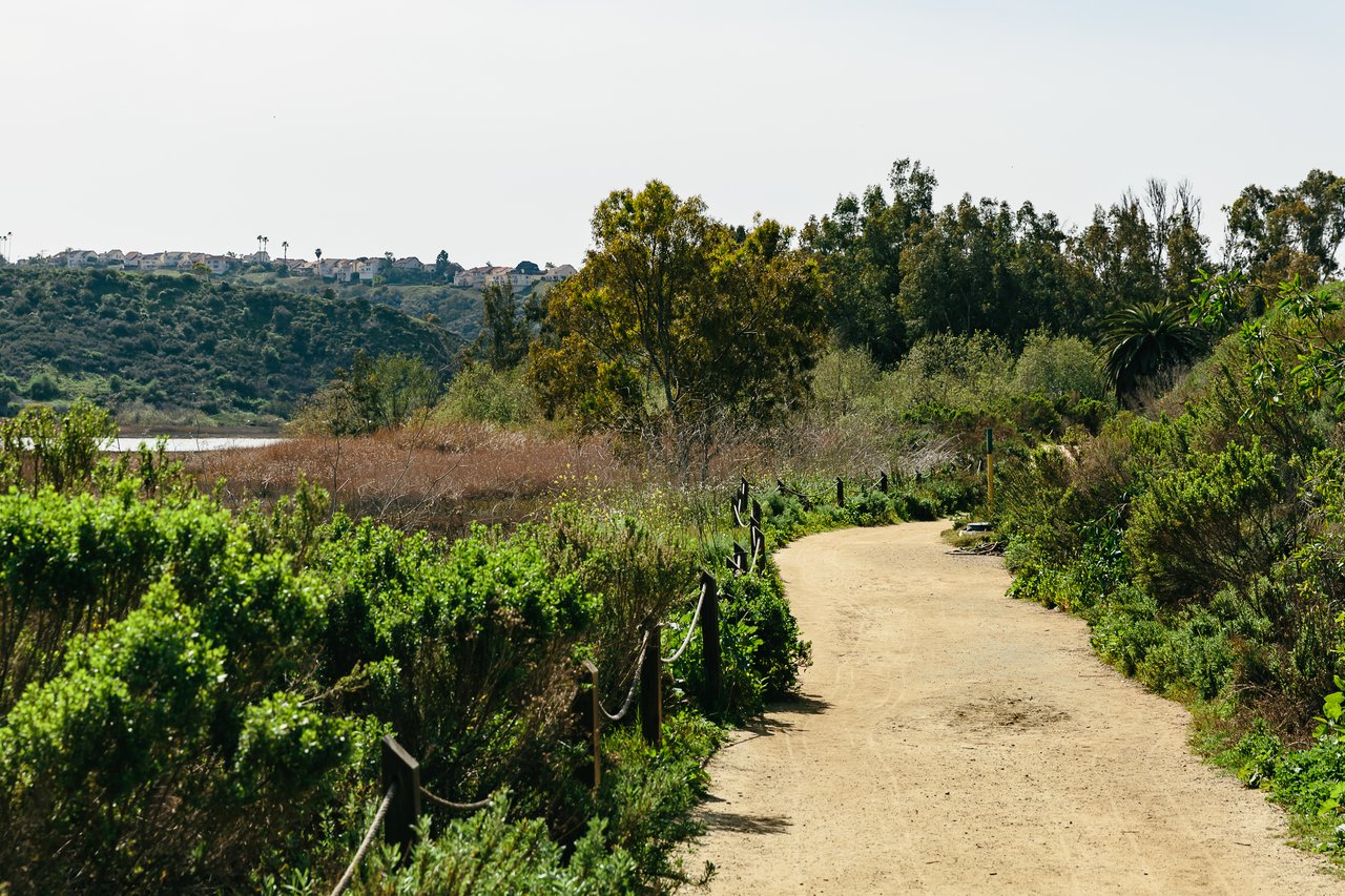
If you live in 92011, the Batiquitos Lagoon trail is probably your default. Ten minutes from the front door, flat enough for a stroller, quiet enough that you can hear an osprey work the water east of the palm grove. The trail feels like a fixed feature of the neighborhood, the way Poinsettia Lane and the Coaster tracks are fixed. It is not.
Three things are shifting on the north shore right now, and they are the reason a walk you have taken a hundred times will look different in October than it did in April. Read this before the next loop.
The canopy is thinning, and it's not a maintenance issue
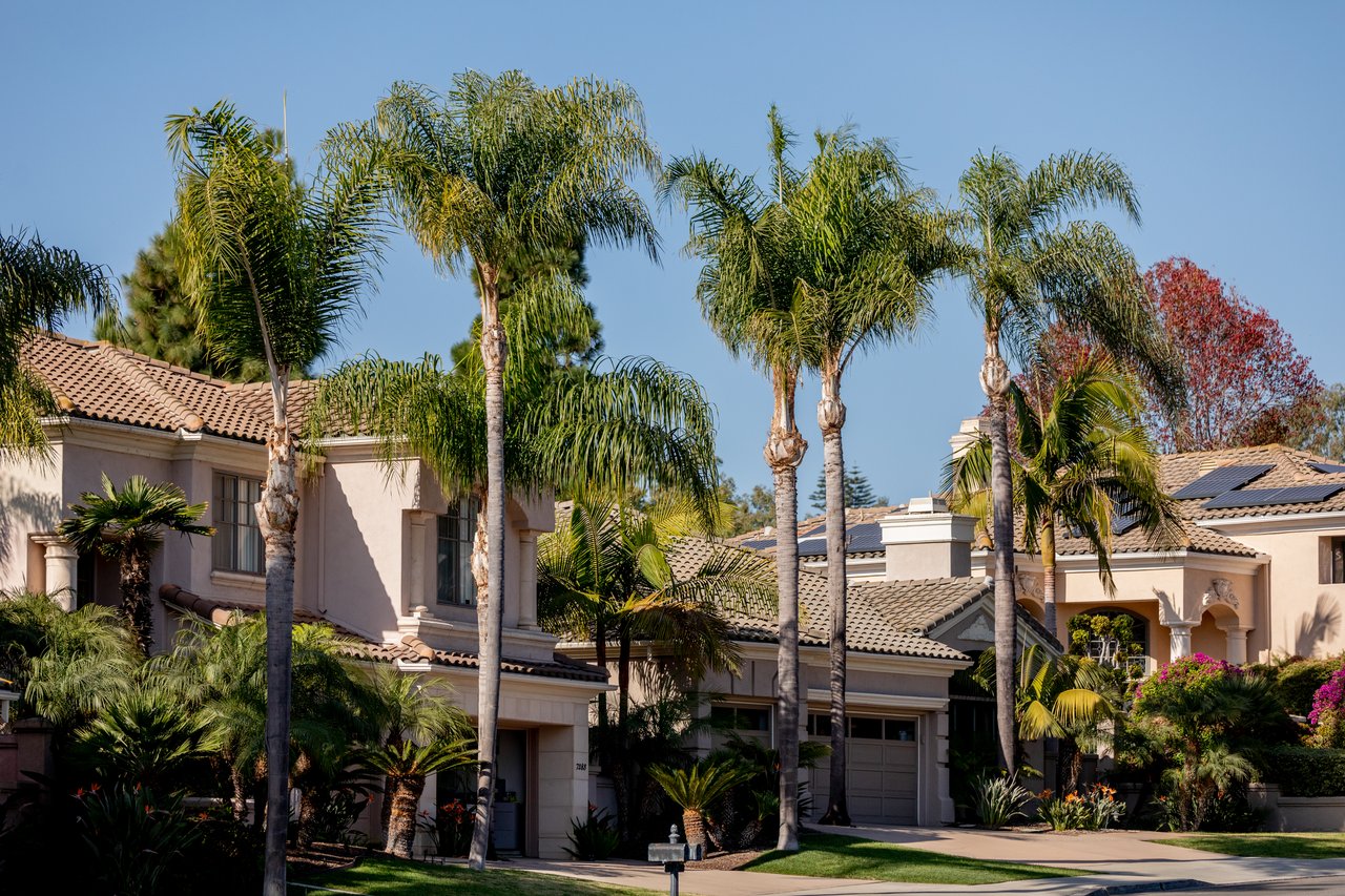
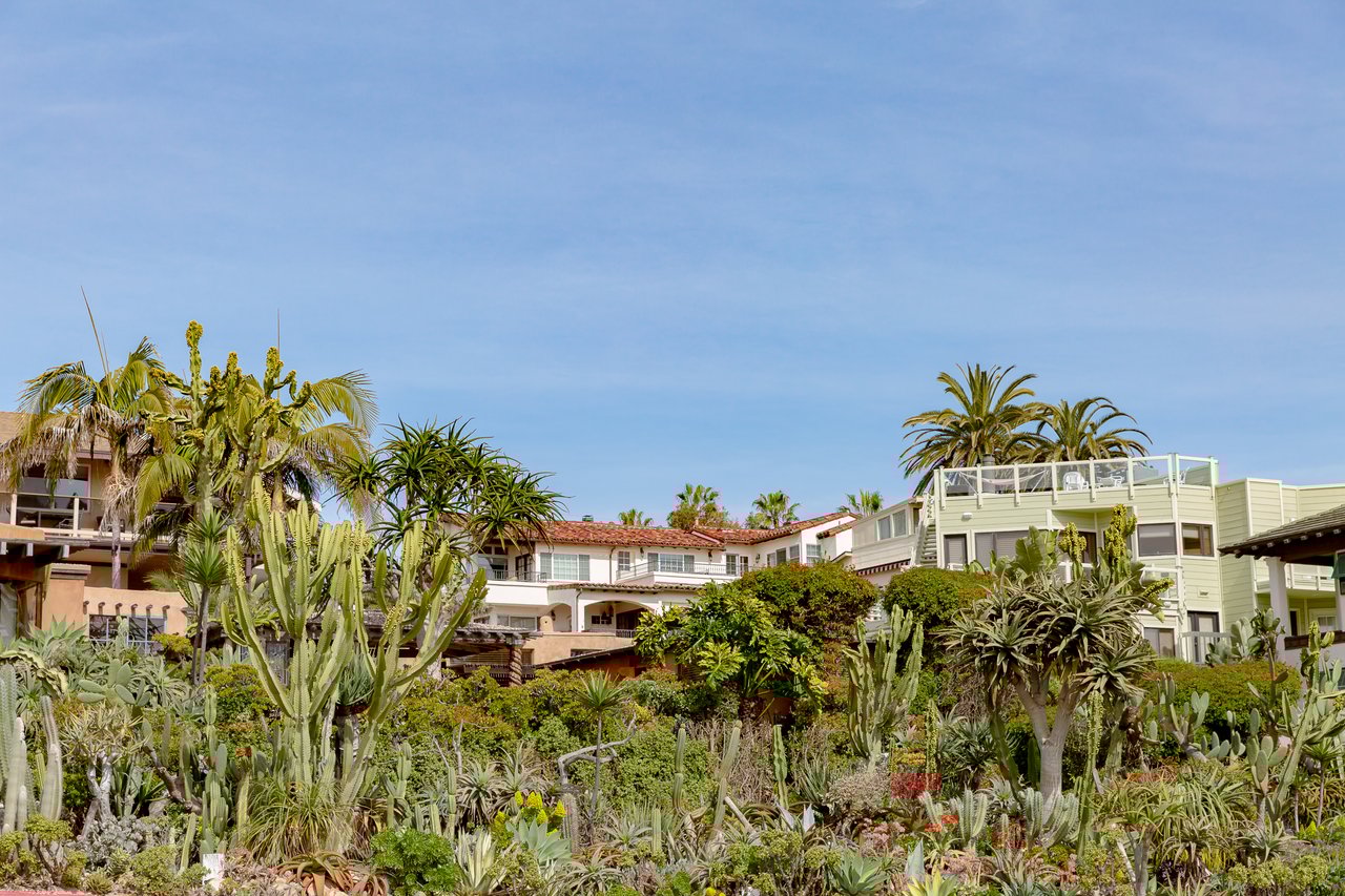
The shaded palm grove about halfway along the trail, the one that gives you thirty seconds of cool air before you drop back into the salt marsh section, has been losing crowns. The palm trees are dying, apparently from a severe infestation of the invasive South American Palm Weevil (SAPW) and a lethal fungal disease known as Fusarium wilt. That is not a rumor from a Nextdoor thread. It is what regular trail users have been documenting, and it lines up with what the San Diego Natural History Museum notes about the freshwater seep section, where a small freshwater creek is home to arroyo willow, mule-fat, and non-native palms.
The point for a resident is practical. The two shaded groves the Canyoneer guides call out are the trail's only real breaks from open sun. As those crowns fail, the middle mile of the walk will feel hotter, brighter, and more exposed than it did two summers ago. If your default is a noon walk in July, you are on a different trail than you were in 2023, and the change is not finished.
The trail is longer than the map you have saved
Depending on which source you check, the north shore trail reads as anywhere from 1.6 miles to 3.4 miles. That is not sloppy reporting. It reflects a trail that is genuinely growing.
The City of Carlsbad puts the current length at 2.7 miles long, and additional trail segments are planned. AllTrails records the walkable out-and-back as 3.4 mi, with an elevation gain of 32 ft. Older guides list it shorter because they predate the eastern extensions toward El Camino Real. Practically, that means:
- The Gabbiano Lane trailhead at 7380 Gabbiano is the classic start, next to the Nature Center. Small lot, fills fast on weekends.
- Batiquitos Drive has four additional lots between Gabbiano and the eastern end. If the main lot is full, keep driving.
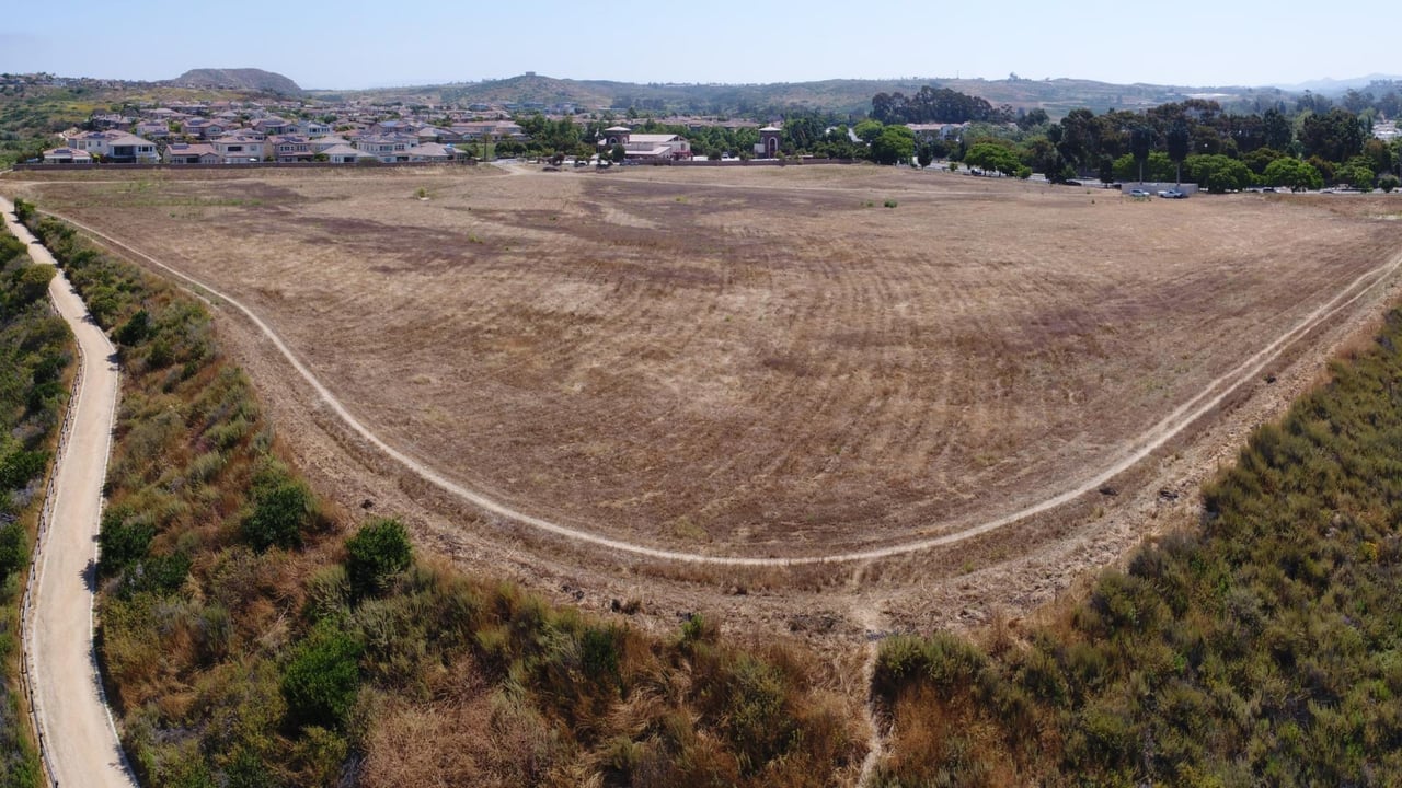
- The Windrose Circle trailhead accesses the Batiquitos Lagoon North Bluff Trail, 0.70 miles, that runs along the bluff of the Batiquitos Lagoon, wraps around the residential community and ascends to Avenida Encinas through a set of concrete stairs, with stunning views of the lagoon and the coastline, plus a pretty, shaded gazebo. Most 92011 residents never walk it.
- The Arenal Road trailhead sits at the far east end and, per the Resilient Wetlands Campaign, is a short walk from a bus stop at El Camino Real and Arenal Road served by the 309 and 609 bus routes.
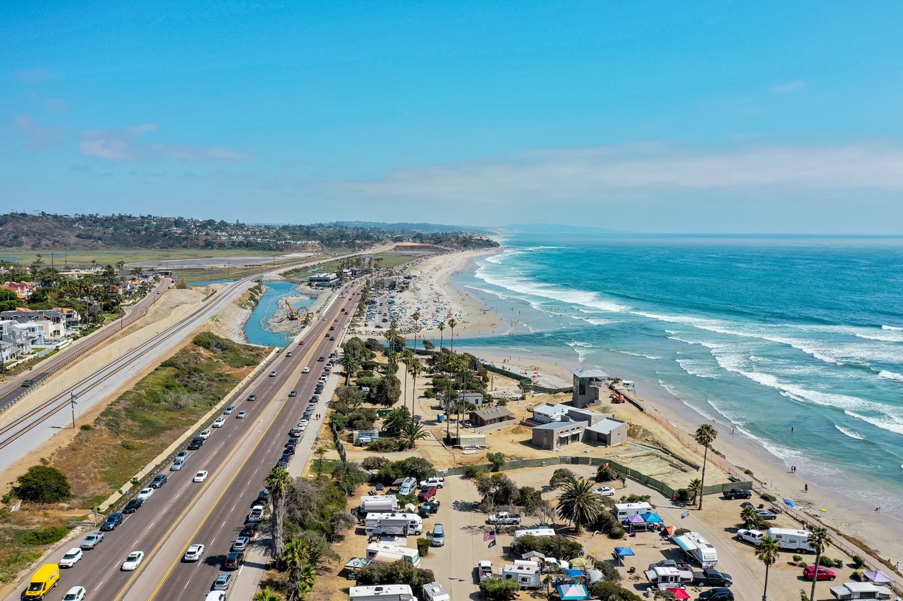
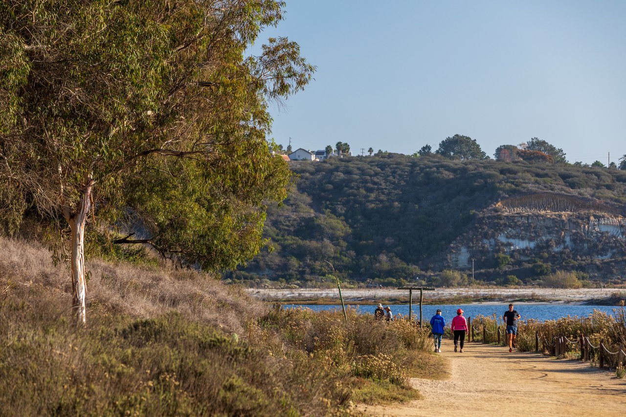
If you have only ever started at Gabbiano, you have been walking the loud half. Beginning at the nature center you are close to the freeway so you do have freeway noise once you venture farther east it's an absolutely beautiful salt marsh lagoon on the south side. Park at one of the Batiquitos Drive lots and you skip the I-5 roar entirely.
Fall is when the lagoon earns its reputation
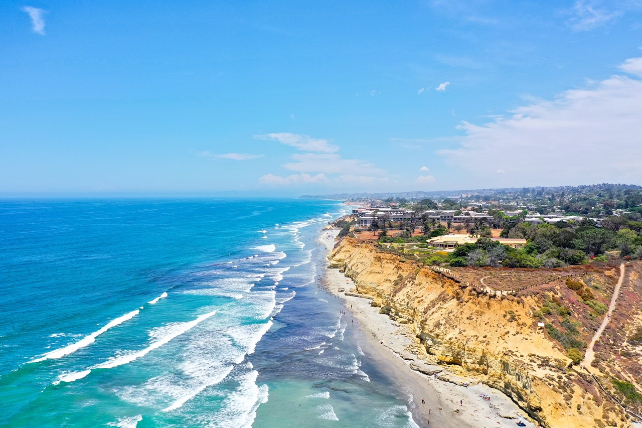
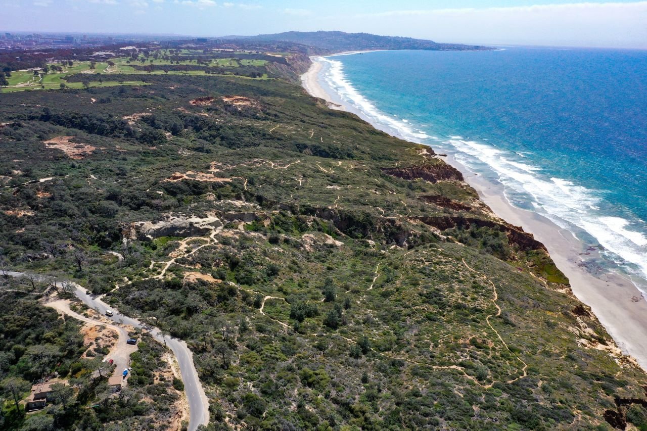
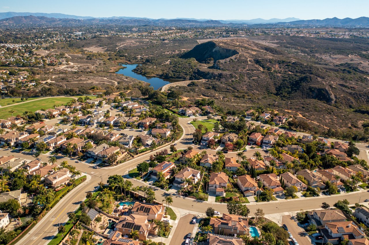
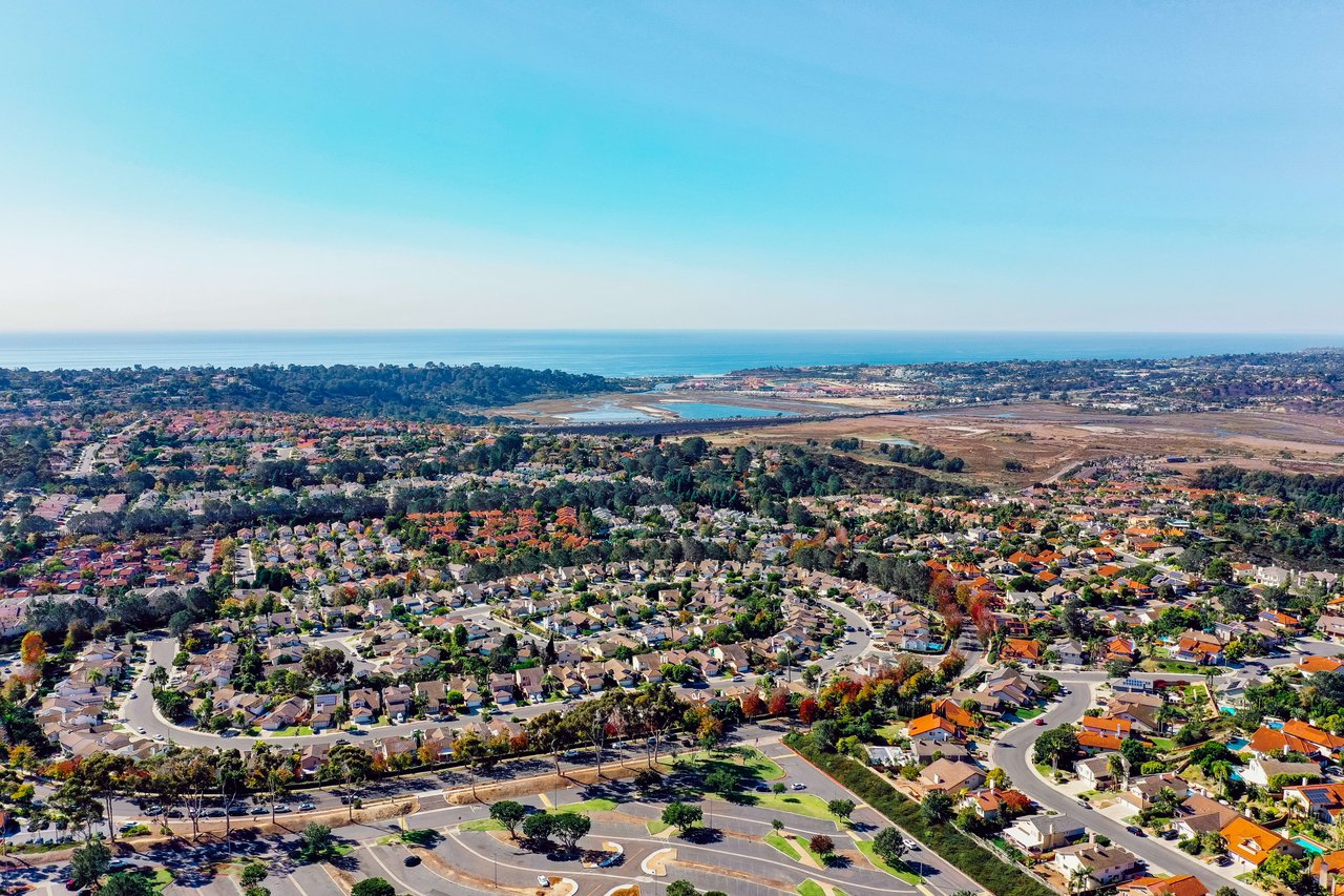
Summer walks are pleasant. Fall walks are the reason serious birders drive here from La Jolla and Rancho Peñasquitos. Batiquitos Lagoon is a 526-acre coastal salt marsh with tidal mud flats and is one of the few remaining tidal wetlands on the Southern California coast, and over 185 species of birds can be seen here throughout the year. The count is not evenly distributed across the calendar.
Best birding is fall and winter. That is when the migratory shorebirds arrive on the mudflats and the year-round residents get company. In winter, migratory shorebirds can be spotted on the mudflats along with ducks, coots, pelicans, gulls, and terns, and ospreys, or fish hawks, cruise over the water, and fall and winter songbirds like yellow-rumped warblers flit through the trees. Three of the species you might see are federally listed: endangered birds such as the Snowy Plover, California Least Tern and Clapper Rail have been spotted there.
The lagoon supports this density because the habitat is layered. Per the state's marine protected area program, the reserve holds many different habitat types, including open water/subtidal, intertidal mudflats, southern coastal salt marsh, coastal brackish marsh, nesting areas, transitional zones, and southern arroyo willow riparian forest, with dominant flora including eelgrass, pickleweed, alkali health, and white sage. You are walking past four ecosystems in three miles.
If you want a docent to translate what you are looking at, the Batiquitos Lagoon Foundation runs walks out of the nature center. Their historical program is a good preview of what a fall or winter session covers.
The focus of recent walks has included such topics as: wetland habitats, birds, Native American heritage and use of the lagoon, insects, geology, sandy beach environment, watershed model, and water quality.
The center itself is open Mon - Fri 9:00 - 12:30 Sat and Sun 9:00 - 3:00, and there is a Foundation-run kayak cleanup event scheduled for October 2026, date to be confirmed on their site.
The Poinsettia Park connection most residents miss
If the trail is one anchor of the 92011 outdoor loop, Poinsettia Community Park at 6600 Hidden Valley Road is the other, and it has been closed, partially open, or under construction for enough of the last two years that plenty of residents have stopped checking on it. It is worth checking again.
The multipurpose field at Poinsettia Community Park reopened in early 2026 following a synthetic turf replacement project. The rest of the site is the largest tennis footprint in the city: this 42-acre park contains the largest public tennis complex in the city, featuring 10 lighted tennis courts and 6 lighted pickleball courts, open 8 a.m. to 10 p.m. If your weekend routine has been trail then coffee, the version with pickleball wedged in the middle is now viable again.
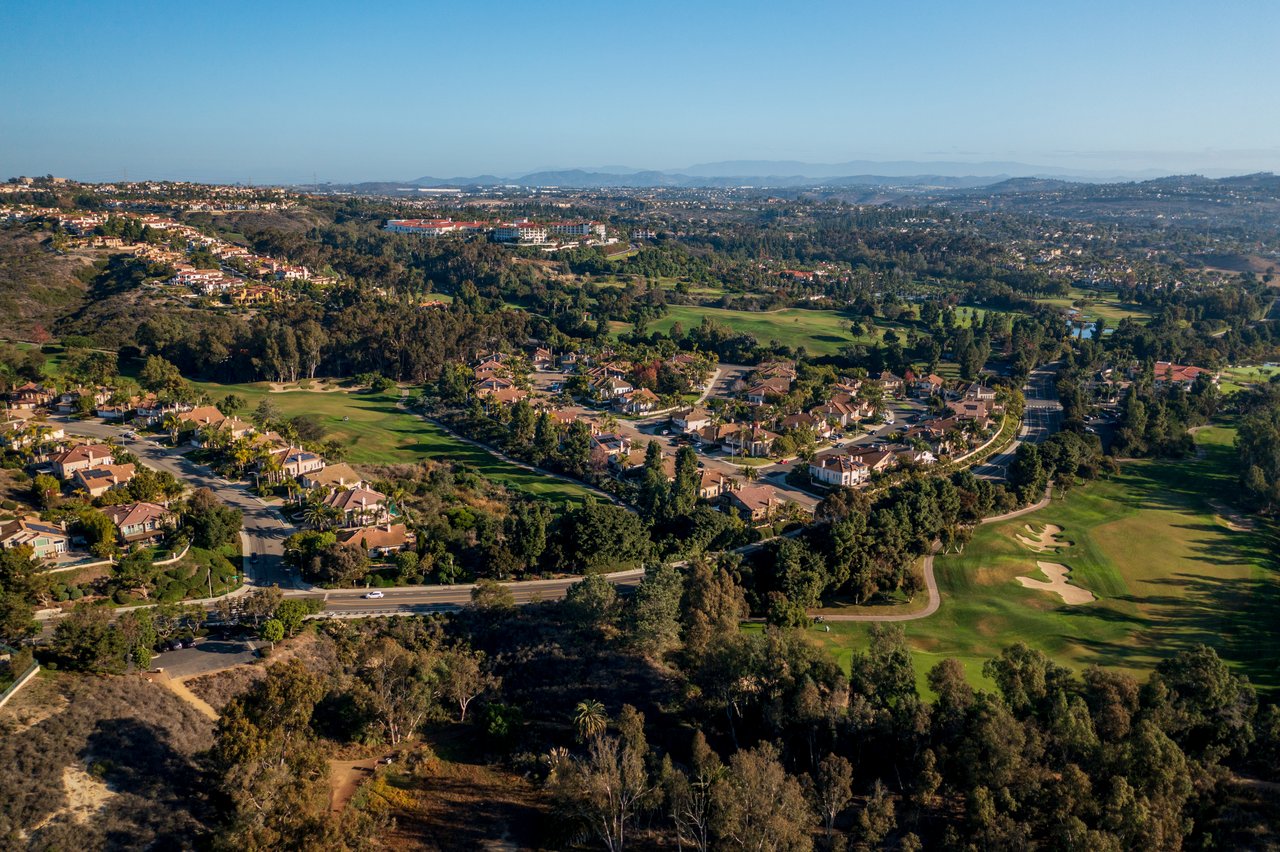
The connector piece almost nobody uses: from the east end of the lagoon trail, walk down to the Aviara golf clubhouse and there is a trail that connects. That gives you a genuine lagoon-to-golf-club-to-neighborhood loop without moving your car. The Aviara Trails system extends the possibilities further, though at a different difficulty. The city's own trail summary puts the Aviara Trails Eucalyptus Trail at 2 miles, difficulty difficult, one of the most diverse in the city, with lots of eucalyptus groves, and topography steep in some areas, but the high points offer breathtaking views of the Batiquitos Lagoon and the ocean. That is the walk to save for a cool morning in November.
What to do with this before the season turns
The through-line of everything above is that the lagoon rewards residents who treat it as a specific place rather than a generic green space. The palm canopy is finite. The Foundation's docent walks fill up. The eastern trailheads are quieter than the western one on any given Saturday. The birds that make this a state ecological reserve, protected by the California Department of Fish and Wildlife since it was designated an ecological reserve in 1983 to protect coastal wetland habitat and species, are here in force for a specific stretch of the calendar.
Fall is that stretch. Park at a Batiquitos Drive lot, walk east, and see what your neighborhood has been hiding from you at the noisy end.
If you are thinking about how a home's proximity to this kind of daily walk factors into a future sale, or how the 92011 buyer pool weighs Aviara access against beach access, that is the conversation Klinge Realty has been having with coastal North County owners for two decades. When you are ready, schedule a free home strategy consultation and we will pick up from your kitchen table.